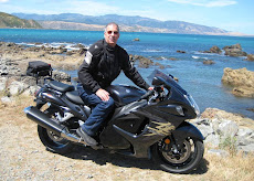
This was my first ride since the operation. I swung by Alan's on the way and our next stop was the summit of the Rimutaka Hill. From there it was straight to Martinborough for lunch and coffee.
On the way home we took a diversion to Carterton and then looped back to the Martinborough road via Greytown.
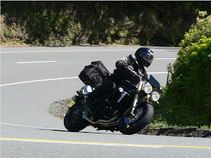
The new GPSmap 60CSx was on the bike and this was a test of the device. It worked well and the directions shown on the screen were easy to read and logical. I have downloaded the log to Mapsource and can view the route in Google Earth. The ETA calculator is very effective and at Rimutaka calculated an ETA at home of 3.13pm then recalculated to 3.15pm near Lower Hutt and arrived home a couple of minutes after that.
Trip 210kms and total for bike 6775kms.


After 20 years, a hydro dam gets consented
8 hours ago